

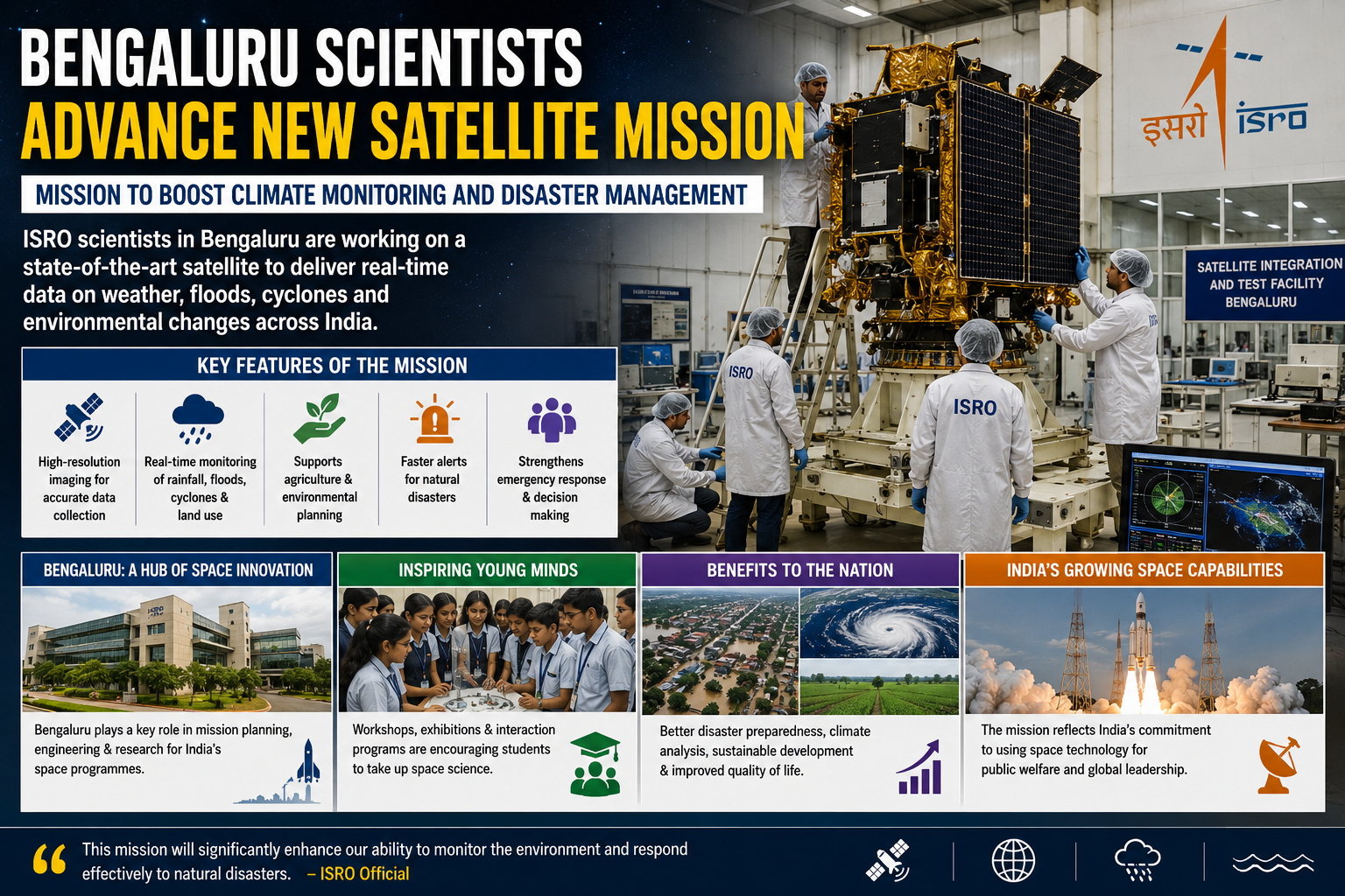
Scientists at the Indian Space Research Organisation in Bengaluru are working on a new satellite mission aimed at improving climate monitoring and disaster management across India. The mission is expected to strengthen the country’s ability to track weather patterns, monitor environmental changes, and provide faster alerts during natural disasters.
According to officials, the upcoming satellite will use advanced imaging technology capable of capturing high-resolution data related to rainfall, floods, cyclones, and land usage. Researchers believe the mission will play a major role in supporting agriculture, environmental planning, and emergency response systems.
The satellite project is being developed with contributions from multiple research centers, with Bengaluru serving as a major hub for mission planning and engineering. Experts stated that India’s growing space capabilities continue to position the country as a leading player in global space research.
Students and young researchers in Bengaluru have shown increasing interest in space science following ISRO’s recent achievements. Educational institutions are also organizing workshops and science exhibitions to inspire future scientists.
Officials noted that the mission reflects India’s long-term commitment to using space technology for public welfare and sustainable development. If successful, the satellite could significantly improve disaster preparedness and climate analysis capabilities nationwide.
News as Reported