

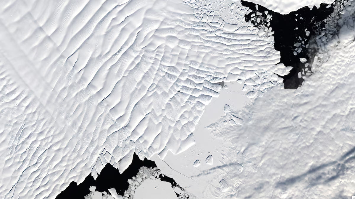
Scientists have uncovered a vast and previously hidden icy landscape beneath Antarctica’s thick ice sheet, using advanced satellite imagery and radar technology. The findings are offering new insights into the continent’s subglacial terrain, reshaping understanding of how Antarctica’s ice behaves and how it could influence future sea-level rise.
By penetrating kilometers of ice, satellites have revealed ancient valleys, ridges, frozen lakes, and river-like channels carved into the bedrock long before the ice sheet formed. Researchers say these features play a critical role in controlling how ice flows toward the ocean, potentially accelerating or slowing ice loss in a warming climate.
The newly mapped terrain helps scientists refine models that predict how Antarctica will respond to rising global temperatures. In some regions, deep troughs beneath the ice could allow warmer ocean water to reach inland ice, increasing the risk of rapid melting. In other areas, elevated ridges may act as natural barriers, temporarily stabilizing glaciers.
Climate experts stress that understanding what lies beneath the ice is as important as monitoring surface changes. Antarctica holds enough frozen water to raise global sea levels by several meters, making accurate projections essential for coastal planning worldwide.
The discovery highlights the growing importance of satellite technology in revealing Earth’s hidden systems and improving forecasts of climate-driven change- News as reported