

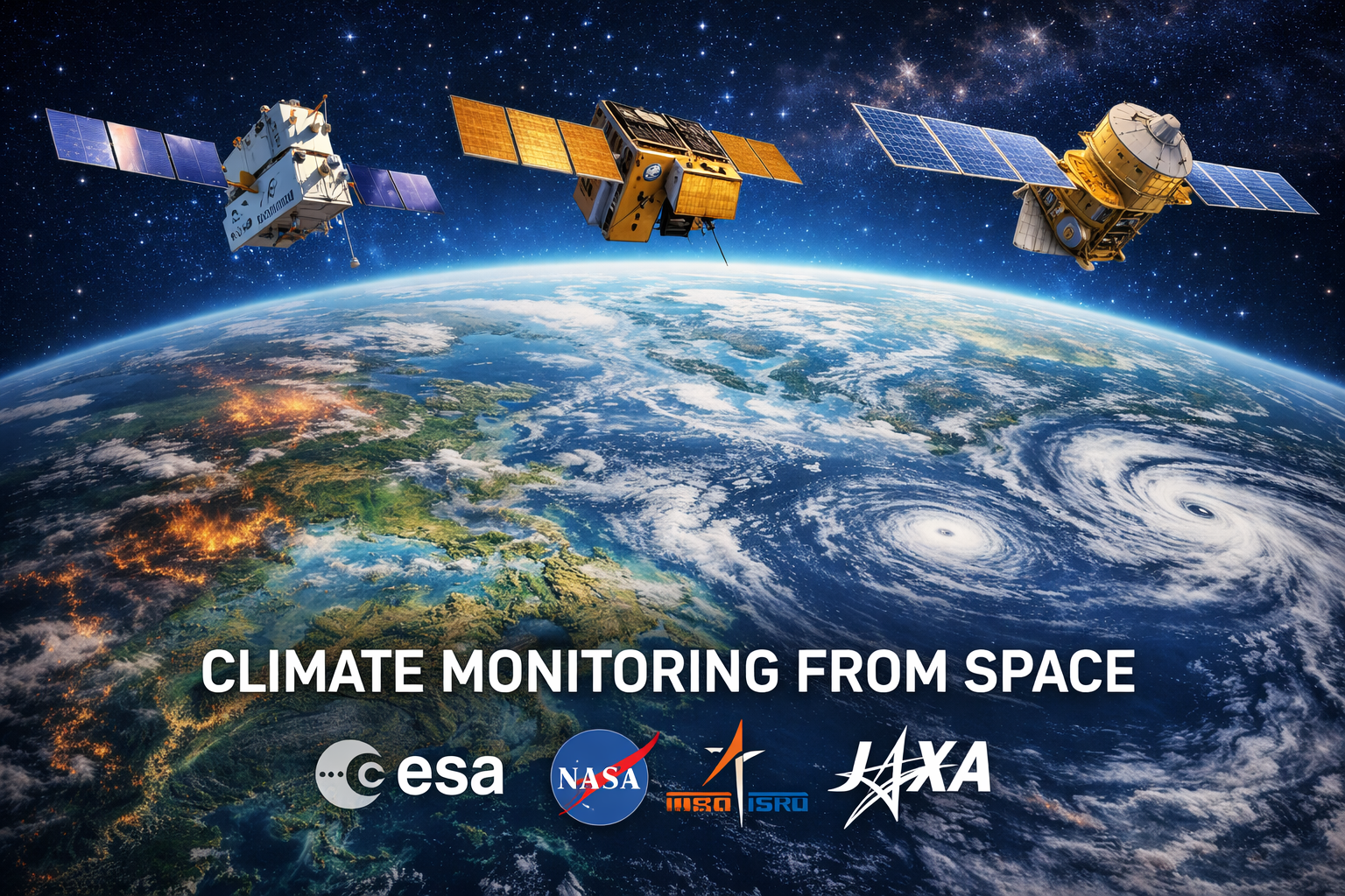
International space agencies are reporting significant progress on collaborative missions designed to monitor Earth’s rapidly changing climate from space. One of the most notable developments has been the launch and early data return from Sentinel-6B, a joint sea-level monitoring satellite operated by NASA and European partners, which has begun transmitting high-precision measurements of ocean heights — a key indicator of climate change and sea-level rise.
In addition, earlier this year the NASA-ISRO Synthetic Aperture Radar (NISAR) satellite — a collaborative project between the U.S. space agency NASA and the Indian Space Research Organisation (ISRO) — entered orbit to track shifts in Earth’s land surfaces, ice sheets and vegetation dynamics. Its radar systems enable detailed three-dimensional mapping of Earth’s surface changes that scientists say will improve understanding of natural disasters and climate effects.
Beyond these flagship missions, space agencies including ESA and JAXA are deepening cooperation on data sharing and satellite technologies aimed at climate monitoring, such as frameworks to enhance joint Earth observation and greenhouse gas tracking.
Experts stress that sustained international collaboration in space-based climate science is critical to produce continuous, high-quality datasets needed for climate prediction, adaptation and policy decisions, particularly as extreme weather events become more frequent. These partnerships — spanning sea levels, precipitation, surface movements and atmospheric composition — exemplify a global effort to harness space technology in understanding and responding to climate change.