

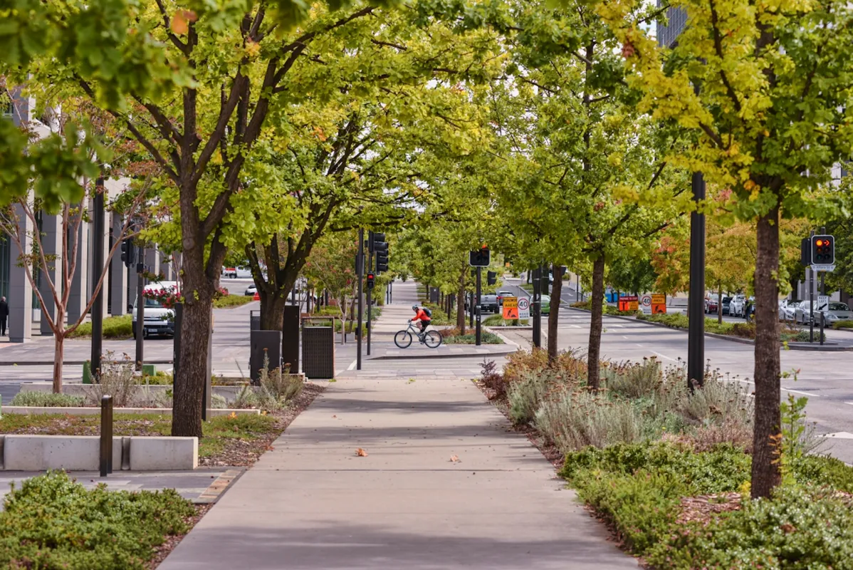
Cities around the world are turning to data-driven solutions to tackle rising temperatures, with a new urban tree mapping initiative gaining attention for its potential to reduce the Urban heat island effect. The project uses satellite imagery, drones, and on-ground surveys to create detailed maps of tree cover in densely populated urban areas.
Urban heat islands occur when concrete and asphalt absorb and retain heat, making cities significantly warmer than surrounding rural regions. By identifying gaps in green cover, planners can strategically plant trees to provide shade, lower surface temperatures, and improve air quality.
The mapping effort also helps city authorities monitor tree health, track biodiversity, and plan maintenance more efficiently. In addition to cooling benefits, increased tree cover can reduce energy demand, manage stormwater runoff, and enhance overall urban livability.
Several pilot programs have already shown promising results, with neighborhoods experiencing measurable drops in temperature after targeted tree-planting drives. Community participation, including citizen-led tree surveys and care initiatives, is further strengthening the impact of the project.
Experts emphasize that while tree mapping is a powerful tool, long-term success will depend on sustained urban planning, policy support, and public engagement. As climate pressures intensify, such nature-based solutions are becoming essential for building resilient and sustainable cities. News as reported
- upgraderz.aws@gmail.com
- upgraderz.aws@gmail.com
- upgraderz.aws@gmail.com
- upgraderz.aws@gmail.com