

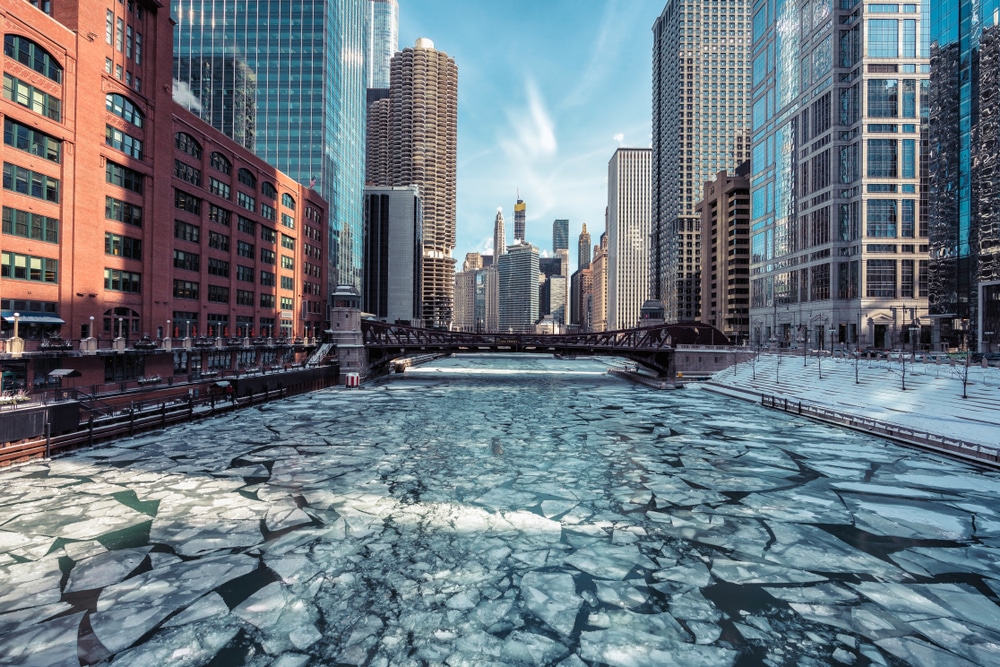
Meteorologists are increasingly linking extreme winter weather across northern regions to a weakened and stretched polar vortex combined with rapidly declining Arctic sea ice. The polar vortex—a large area of low pressure and cold air that typically stays locked over the Arctic—has become more unstable in recent years. When it stretches or shifts southward, frigid Arctic air can spill into North America, Europe, and parts of Asia, triggering severe cold snaps, heavy snowfall, and prolonged winter storms.
A key driver behind this instability is the loss of Arctic sea ice. Sea ice normally acts as an insulating layer, keeping heat trapped in the ocean. As ice cover shrinks due to warming temperatures, more heat escapes into the atmosphere, disrupting the jet stream that helps contain the polar vortex. This disturbance can cause the jet stream to become wavier, allowing cold air to plunge south while warmer air moves unusually far north.
Recent winters have shown this pattern clearly, with record-breaking cold in some regions occurring alongside unseasonably mild conditions in others. Scientists caution that these extremes are not signs of a cooling planet, but rather symptoms of a warming Arctic altering long-established atmospheric dynamics.
Experts warn that as Arctic warming continues, such volatile winter weather could become more frequent, posing growing risks to infrastructure, ecosystems, and public safety across northern latitudes – News as reported